2025 August Update

Table of Contents
It’s been a month since Syrac was released, and there was a lot of positive feedback and discussions.
Here is a short summary of the updates since the initial release:
Glider categories#
Glider categories are now displayed in task leaderboards, and need to be declared when submitting tracks.

The addition of glider brands and models are coming in the next few weeks, check the roadmap to stay up-to-date with the upcoming features.
Completion speed#
Another addition to task leaderboards is the completion speed, calculated as the optimized task distance between the Start of Speed Section (SSS) and the End of Speed Section (ESS) divided by the flight time between these two turnpoints.

Since the speed section distance $d_{SS}$ can be significantly shorter than the total task distance $d_{TOT}$, the task detail page now displays both distances using $d_{TOT}$ km [$d_{SS}$ km].
Task clusters#
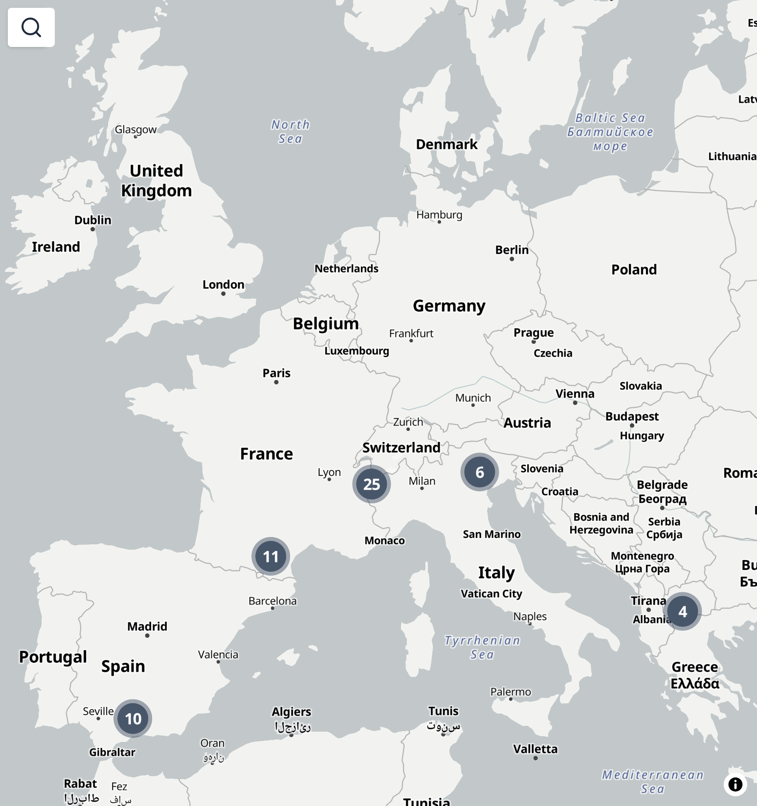
The explore map now appears less empty since clusters of tasks in view are now displayed.

Once the map is zoomed-in enough to resolve individual task locations, you can click on them to display a popup with a link to the leaderboard page.

For now, the task location is computed as the barycenter of the optimized route. I’m not very satsified with this approach but I think the alternatives are worse:
- takeoff: Takeoff turnpoints are not used for navigation, and are optional in the task definition. Also, single task can be completed by taking off from different locations.
- start of speed section: Using the center of the SSS does not make sense because a large start radius can be used on a small local task, making it appear far from the actual task location. Using the intersection of the optimized route with the SSS would make more sense, but I don’t think it more accurately represents the task location than the barycenter of the complete optimized route.
- goal: Same issues as with the SSS.
Persistent map state#
Another nice-to-have feature of the explore map is that it now remembers its position during a browsing session. This means you can navigate back and forth between the explore page and task detail pages without the map location resetting on each page load.
Leaderboard date filter#
You can now filter leaderboard results by date range. This enables pilots to run monthly, yearly, or seasonal challenges, while keeping tasks open for completion at any time.
Task search#
Want to quickly find a task you know the name of ? Use the search bar on the explore page to open the task preview.